Scotland, on the edge of the map
Scotland sits at the north-west edge of Britain and of Europe. Even its cities are a short drive from open moor, sea lochs and mountains. This guide covers the whole country, from Edinburgh's closes to the far Shetland cliffs, with the practical detail you need to plan well.

Most first trips to Scotland try to fit in too much. The distances look small on a map, but roads narrow, ferries run to timetables that can change with the weather, and many places in the north and west close or reduce hours from late October to Easter. A good plan accepts that and leaves room for the views that make you stop.
This site is written to help you plan that kind of trip. Every region page says what to see, how long to allow, how to get there and what needs booking ahead. The practical guides deal with the things that catch visitors out: ferry bookings, single-track roads, midges, short winter days and what closes when.
Start with the gateways
Almost every trip begins in Edinburgh or Glasgow. They are under an hour apart by train, and both have direct flights from much of Europe. Edinburgh is better for the castle, the Old Town and the east; Glasgow is closer to Loch Lomond, Oban and the West Highland Line.
Regions
Scotland divides naturally into areas that each reward a few days. You do not need to see them all. Two or three, done properly, make a better trip than eight in a rush.
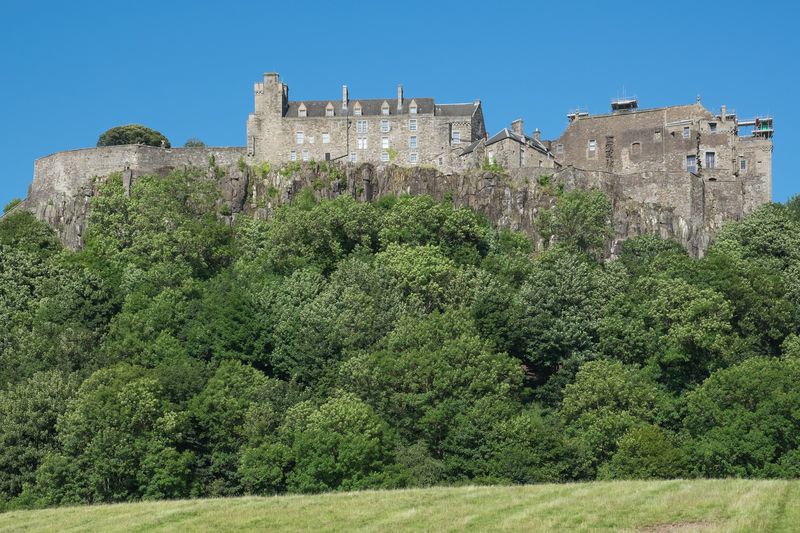 Stirling, Fife and St AndrewsRoyal castles, the home of golf and the fishing villages of the East Neuk, all within an hour of Edinburgh.
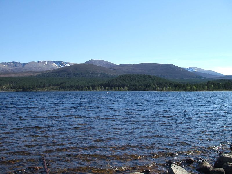 Perthshire, the Cairngorms and SpeysideWoodland towns, Britain's largest national park and the Speyside distilleries along the A9 north.
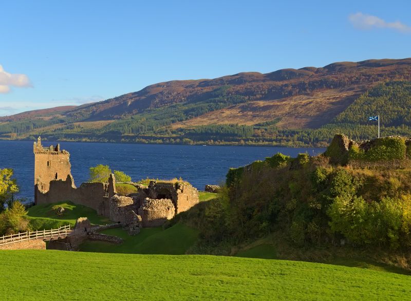 Loch Ness and InvernessThe Highland capital, Culloden battlefield and a long, dark loch with a famous castle.
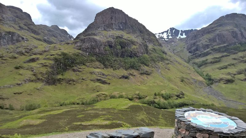 Glencoe, Fort William and ArgyllGlencoe, Ben Nevis, the Glenfinnan viaduct, Oban and the islands of Argyll.
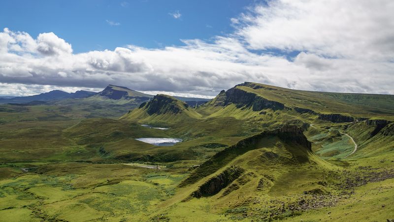 Skye and the Small IslesScotland's best-known island, plus four small car-free islands reached from Mallaig.
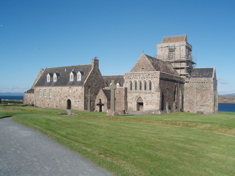 Mull and IonaColourful Tobermory, wildlife, the sacred island of Iona and boat trips to Staffa.
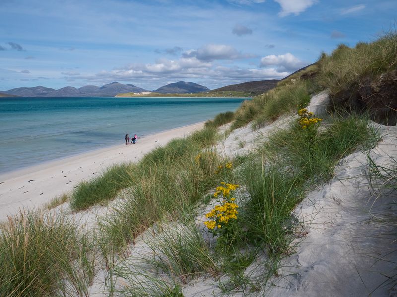 The Outer HebridesLong white beaches, standing stones, Gaelic culture and a chain of islands linked by causeways and ferries.
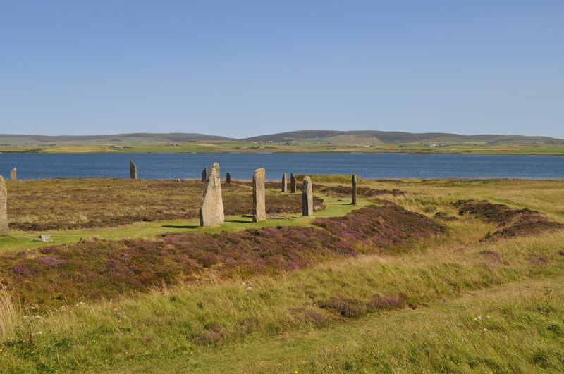 Orkney and ShetlandNeolithic villages and stone circles in Orkney; seabird cliffs and Norse heritage in Shetland.
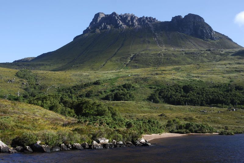 The North Coast 500 and the far north-westA 516-mile loop through the emptiest mainland landscapes in Britain. Give it time.
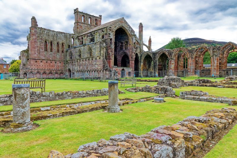 The Borders and Dumfries & GallowayRuined abbeys, rolling hills, dark skies and a quiet coast, well away from the Highland crowds.
Plan the practical side
- Getting around Scotland: car, train, bus and ferry, and how they fit together.
- Scottish ferries explained: CalMac and NorthLink routes, crossing times and when to book.
- Driving single-track roads: passing places, etiquette and realistic speeds.
- The best time to visit, month by month.
- What closes in winter, and what stays open.
- Midges, weather and daylight.
- What to book months ahead.
- Travelling without a car.
Sample itineraries
Our itineraries run from three days to two weeks. Drive times are realistic, not the optimistic figures a route planner gives on an empty road, and no day is longer than about nine to ten hours including stops.
How this guide is written
We say plainly when somewhere is closed in winter, when a ferry needs booking weeks ahead and when a popular viewpoint is busy. Where details change often, such as timetables and prices, we tell you which operator to check rather than print figures that may be out of date. Read more about this site.